Arctic Coastal Geoscience Lab
Below is a collection of maps created for sample reconnaissance and collection
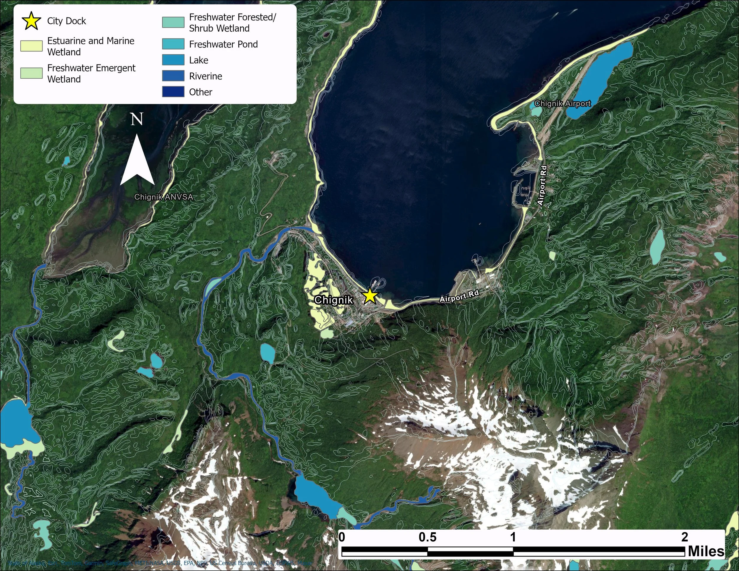
Wetland mapping of Chignik, Alaska using state sourced vector and raster files
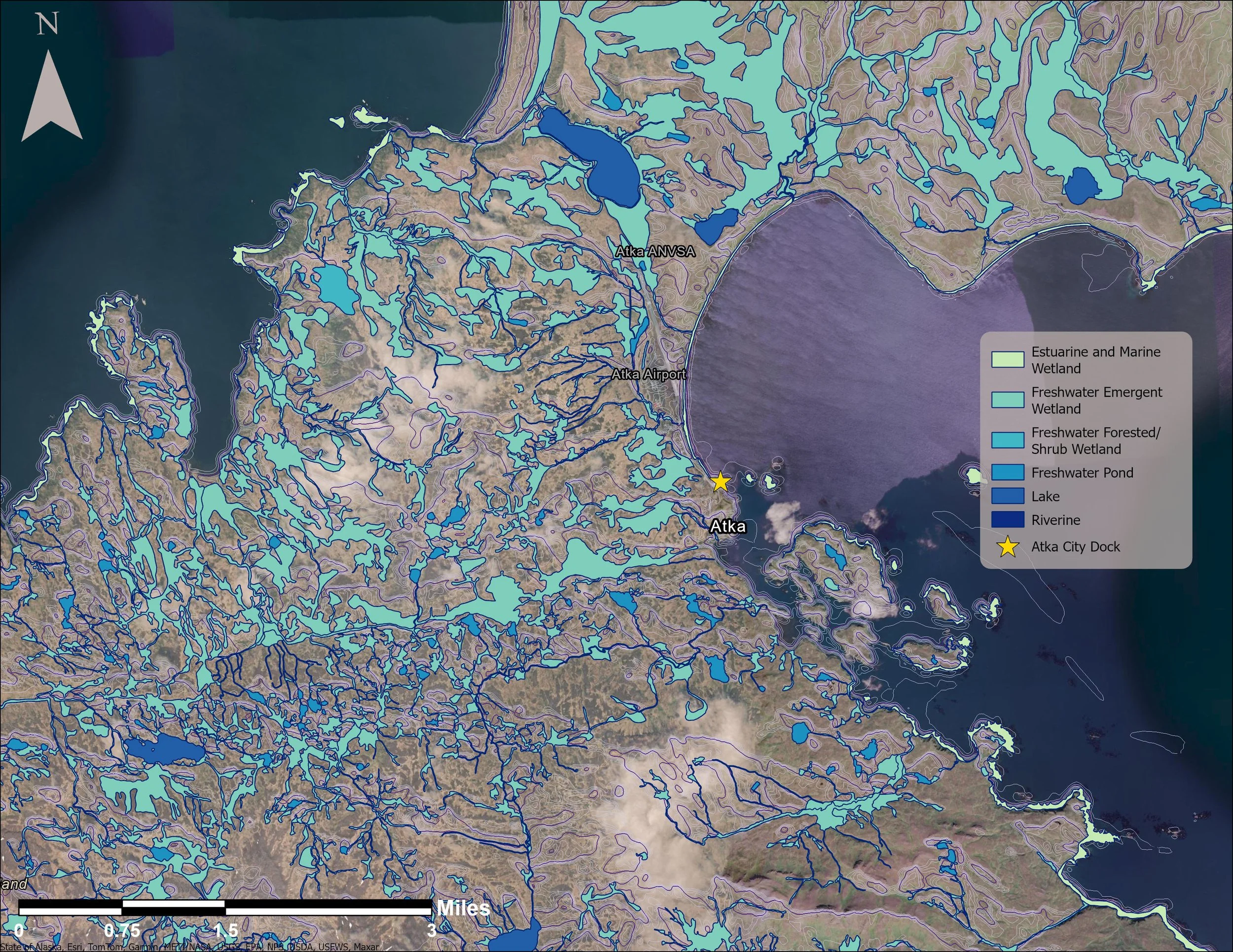
Wetland mapping of Atka, Alaska using the same data as the Chignik map
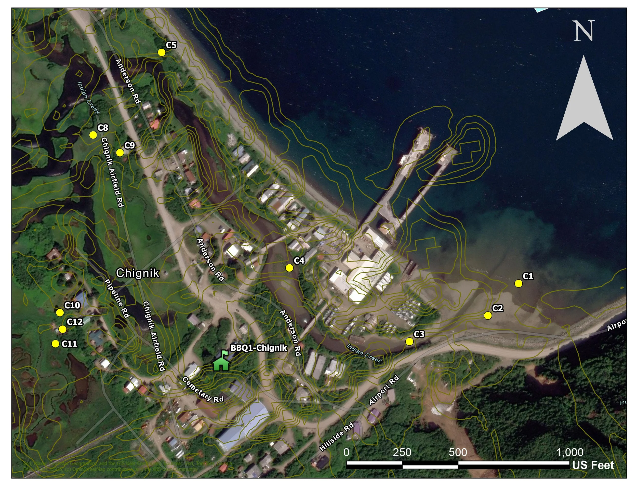
Creating sample collection data from kmz files
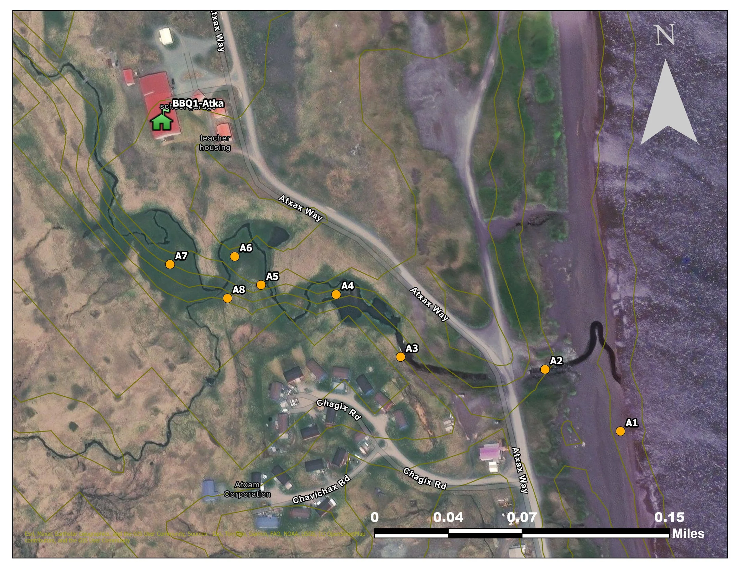
Sample mapping created from kmz files